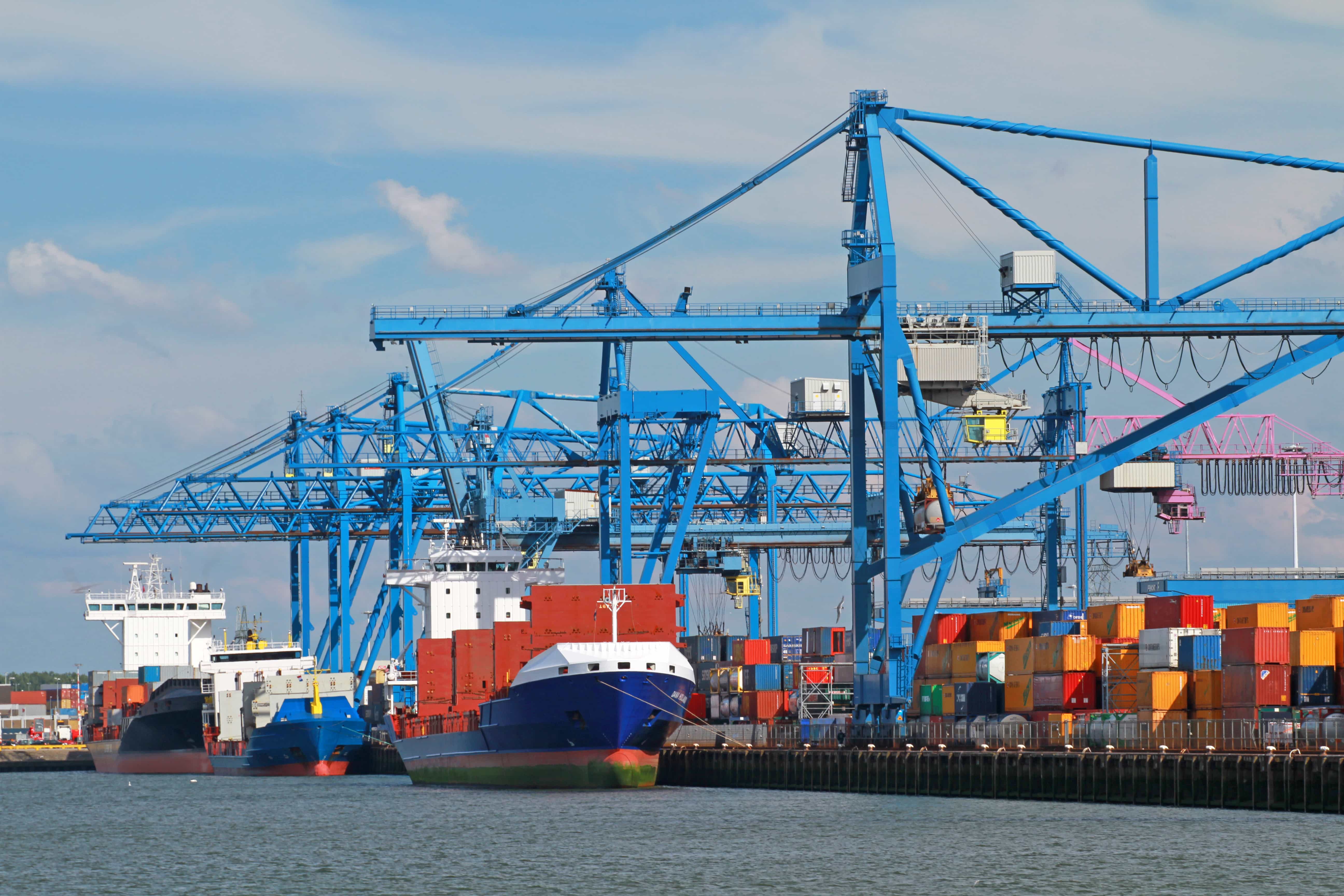
Rotterdam Port launches geofencing system to enable timely arrival of ships

The Port of Rotterdam has taken an important step in optimizing ship movements by introducing a modern geofencing system as part of the initial phase of Just In Time (JIT) navigation projects.
This measure aims to reduce carbon dioxide emissions and improve the efficiency of ship traffic management. Since mid October, dock planners and shipping agents have received email reminders that any vessel crossing the virtual boundary (i.e. geofencing) 240 nautical miles away from the Mas center buoy.
In addition, after passing through the geofencing, ships are assigned to the actual time of arrival (ATA) in the port access planning area (PPA), thereby achieving more accurate scheduling and shorter waiting times.
In addition, real-time navigation methods provide substantial benefits in reducing the environmental impact and operational costs of inland waterway transportation. A 2022 study commissioned by the Low Carbon GIA, a global industry alliance supporting low-carbon shipping, found that by implementing JIT arrival procedures in the last 12 hours of the journey, container ships can reduce fuel consumption and carbon dioxide emissions by 4.23%. This study is part of the International Maritime Organization and Norway's Green Navigation 2050 project.
In addition, the launch of the geofencing system is the result of the joint efforts of various stakeholders in the port, such as terminal operators, shipping agents, and maritime service providers. By enhancing the accuracy of information, this collaboration supports the goal of ports achieving more efficient and sustainable operations.
